West Highland Way Storymap – A Natural Tour
An introduction to biodiversity along the West Highland Way
The West Highland Way is famous for its stunning scenery and wildlife, but how much do you know about the special protections given to the landscapes you will be walking through?
Click here to get started: The West Highland Way – A Natural Tour
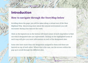
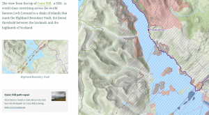
This interactive storymap allows you to follow the route along its 96 miles, discovering more about the natural environment and wildlife you may see along the Way.
NEW: A new dataset has been added to the storymap to show the latest collection of research-grade species observations contributed by iNaturalist users. This means you can zoom in on the map to see more detail on what has been spotted along the trail and reported via the iNaturalist app.
This short video explains more about the storymap and how to use it:


Best viewed on a desktop browser.
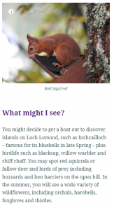
Photo credit: Adrienne Sharp
The production and marketing of the WHW Nature Story was supported by Scottish Government and Forth Valley & Lomond CLLD Programme 2023-2024.


